Indexed In
- Open J Gate
- RefSeek
- Hamdard University
- EBSCO A-Z
- OCLC- WorldCat
- Publons
- International Scientific Indexing
- Euro Pub
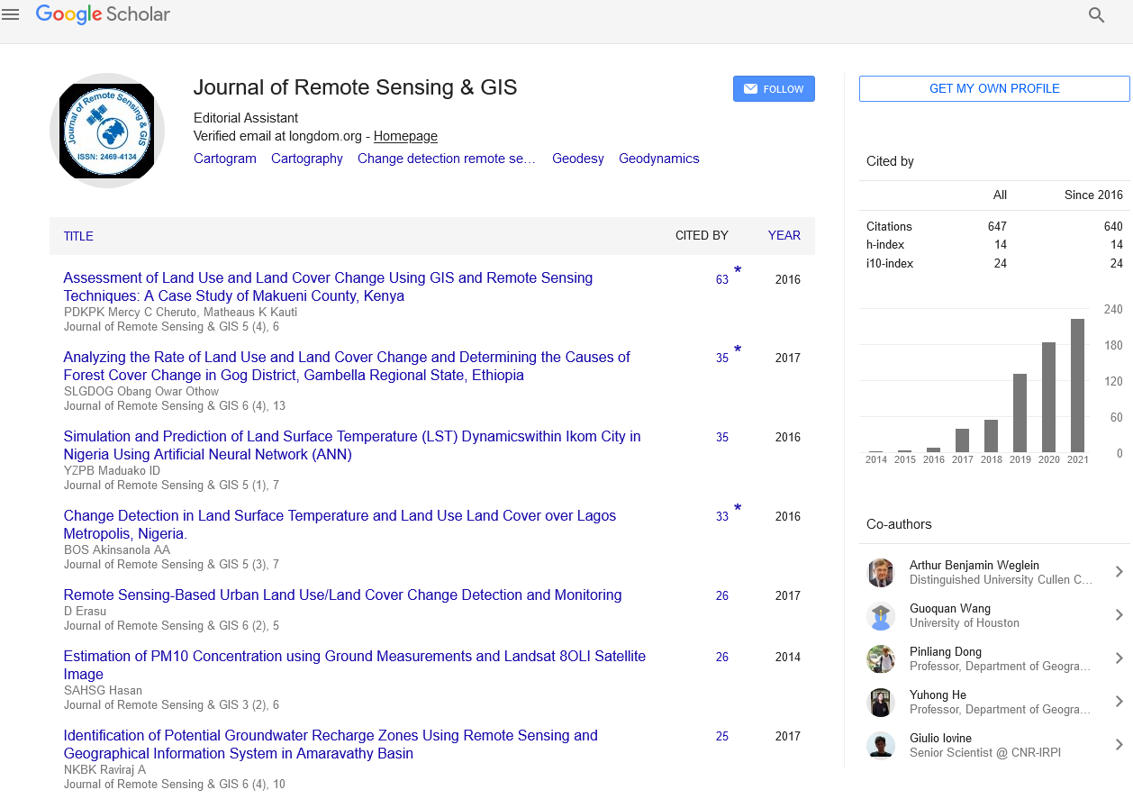
- Google Scholar
Useful Links
Share This Page
Journal Flyer

Open Access Journals
- Agri and Aquaculture
- Biochemistry
- Bioinformatics & Systems Biology
- Business & Management
- Chemistry
- Clinical Sciences
- Engineering
- Food & Nutrition
- General Science
- Genetics & Molecular Biology
- Immunology & Microbiology
- Medical Sciences
- Neuroscience & Psychology
- Nursing & Health Care
- Pharmaceutical Sciences
Aim and Scope
Journal of Remote Sensing & GIS is the art and science of using sensors on airplanes or satellites to conduct ground surveys. The Geographic Information System (GIS) is a computer tool used to map and analyse characteristic events of the earth. Integrate common database operations (such as queries and statistical analysis) with maps.
Remote Sensing and Geographic Information System is a scientific journal covering a wide range of disciplines and reports to obtain information about objects or phenomena without physical contact with the objects. It publishes all relevant research results and discoveries related to ingredients and their therapeutic properties, creating a platform for authors and contributing to the journal. All articles are peer reviewed by well-known individuals in the field. Journal is committed to publishing and obtaining valuable impact factors through rapid visibility through the guiding principles of open access for its world-class research work.


