
Indexed In
- Open J Gate
- Genamics JournalSeek
- CiteFactor
- Cosmos IF
- Scimago
- Ulrich's Periodicals Directory
- Electronic Journals Library
- RefSeek
- Hamdard University
- EBSCO A-Z
- Directory of Abstract Indexing for Journals
- OCLC- WorldCat
- Proquest Summons
- Scholarsteer
- ROAD
- Virtual Library of Biology (vifabio)
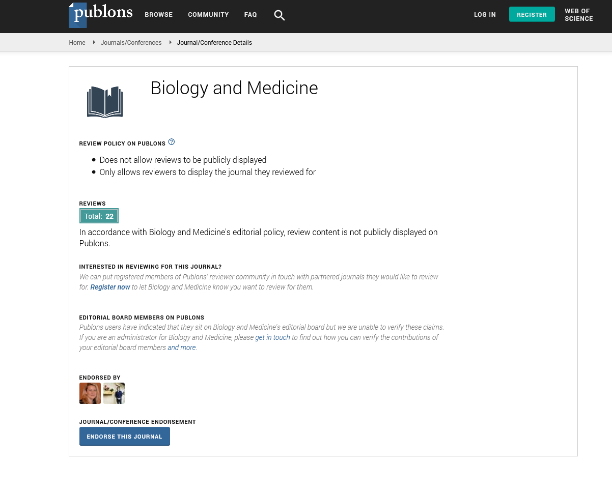
- Publons
- Geneva Foundation for Medical Education and Research
- Google Scholar
Useful Links
Share This Page
Journal Flyer
Open Access Journals
- Agri and Aquaculture
- Biochemistry
- Bioinformatics & Systems Biology
- Business & Management
- Chemistry
- Clinical Sciences
- Engineering
- Food & Nutrition
- General Science
- Genetics & Molecular Biology
- Immunology & Microbiology
- Medical Sciences
- Neuroscience & Psychology
- Nursing & Health Care
- Pharmaceutical Sciences
Abstract
Geographical Dispersion Pattern of Northern Zagrous Parts in Islam Abad Gharb and Introduction of Biological Shapes Related to Them
Farahnaz Nooraii and Allahyar Kamarii
The study of the vegetative coverage of a region in order to exploit its natural sources is of great importance. Islam Abad Gharb is located in Kermanshah between 45, 24 min to 38, 30 min of the eastern longitude and 33, 36 min to 35, 15 min of the northern latitude. Its extent is about 4654, and it is 1335 m above sea level. This city is dry according to amperage formula. It is a mountain city with an average annual rain of 414/72 m. The highest average temperature is 37°C in August, and the lowest average temperature is -20°C in December. The vegetative coverage of the region was determined based on the floristic method, and the biological shape of each plant was determined generally. There are 79 families, 225 genera, and 335 species. Six big families are: Brassicaceae (28 spp.), Gramineae (27 spp.), Papilionaceae (26 spp.), Apiaceae (24 spp.). Compositeae (29 spp.), and Labitate (17 spp.). Therophytes are the most common and compromise 47% of all plants. Others are Hemicryptophytes (24%), Phanerophytes (12%), and Geophytes (10%), that is, 54% of Iranian-Toranian plant.